


William B. Umstead State Park
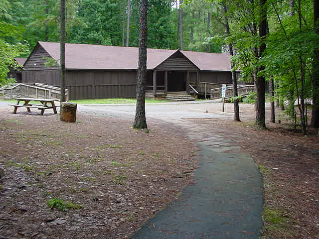
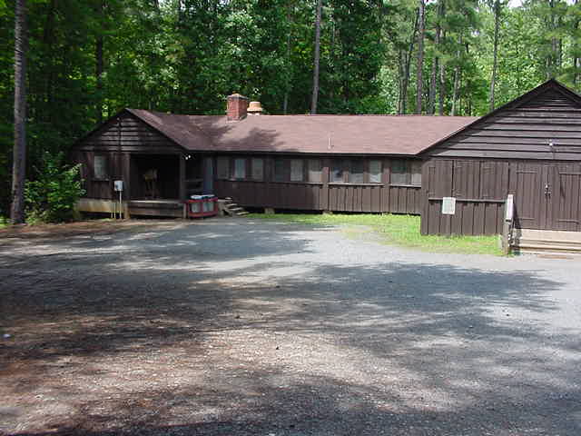
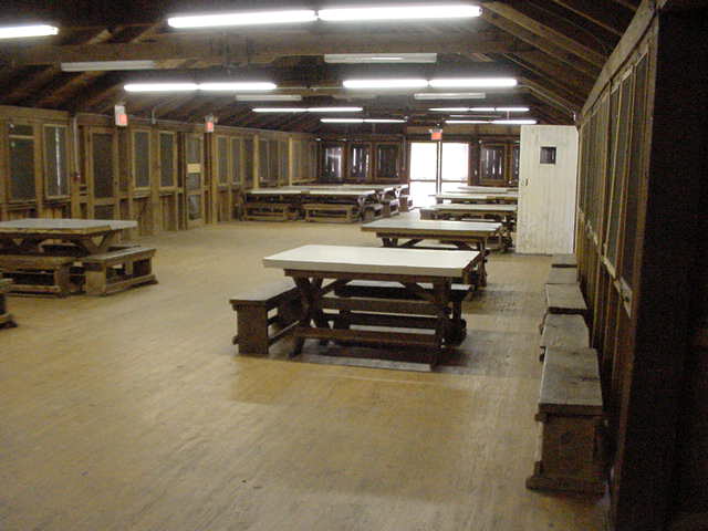
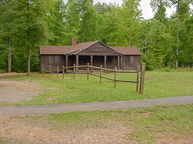
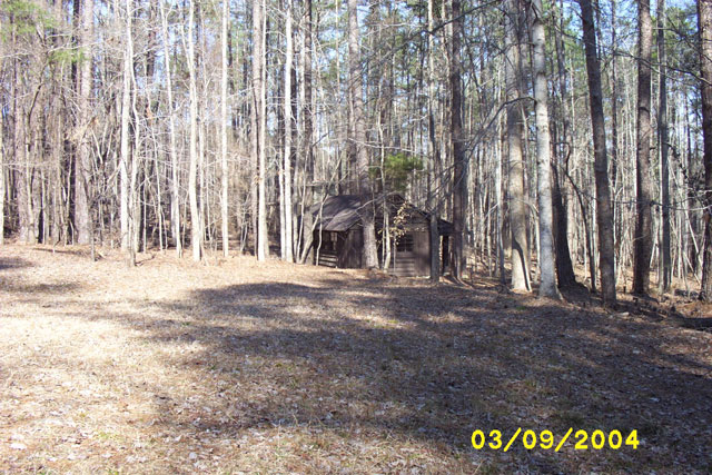
We will be using Camp Lapahio at William B. Umstead State Park as our venue again this year. Three group camps: Camp Crabtree, Camp Lapihio and Camp Whispering Pines—are available to youth groups and nonprofit organizations. Each camp includes a mess hall, dining area, camper and staff cabins and washhouses. See the Park web site for information on other features of the Park, which includes trails, museum, and visitor center.
Park History
Long before the first settlers, the area now known as William B. Umstead State Park was an untamed land. American bison, elk, bobcats and wolves roamed majestic forests of oak, hickory and beech. Native Americans later inhabited the land and avenues of trade were developed nearby. Such avenues included the Occoneeche trail to the north and the Pee Dee trail to the south. In 1774, land grants opened the area for settlement.
Forests were cleared as agricultural interests sprouted. While early farming efforts were successful, poor cultivation practices and one-crop production led to depletion and erosion of the soil. During the Depression, farmers made futile attempts to grow cotton in worn-out soil around Crabtree Creek.
In 1934, under the Resettlement Administration, federal and state agencies united to buy 5,000 acres of this submarginal land to develop a recreation area. The Civilian Conservation Corps, as well as the Works Progress Administration, helped construct the site while providing much needed jobs. Four camps along with day-use and picnic facilities were built and the park opened to the public in 1937.
The state purchased this area, known as Crabtree Creek Recreation Area, for $1, and more facilities were built as the General Assembly made its first state parks division appropriation in the 1940s. In 1950, more than 1,000 acres of the park were established as a separate park for African-Americans. This area was named Reedy Creek State Park. Crabtree Creek Recreation Area was renamed a few years later after former Governor William Bradley Umstead because of his conservation efforts. In 1966, the Crabtree Creek and Reedy Creek areas were united under the same name; William B. Umstead State Park was open to everyone.
Directions to William B. Umstead State Park & Camp Lapihio
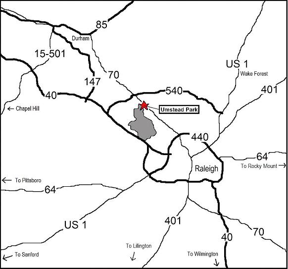
William B. Umstead State Park is located in Wake County between Raleigh and Durham.
The Crabtree Creek section of Umstead State Park is located 10 miles northwest of Raleigh off US 70 just south or Raleigh-Durham Airport (RDU). The park visitor’s center and camping facilities, including group Camp Lapihio, are located in this section at 8801 Glenwood Ave.
From Raleigh Beltline take exit US-70 West (Glenwood Ave.). Pass CarMax, then turn left into the park entrance.
From I-40 and the West, take I-40, turn northeast on I-540 and take the US 70 exit. Travel southeast on US 70 toward Raleigh, and turn right on Umstead Parkway at the park entrance
From the North, take I-85 to exit number 178, which is marked "US 70 East, RDU Airport, Raleigh" Go straight on US 70 for about 10 1/2 miles. Park entrance is on your right after passing the airport turn offs and the Angus Barn restaurant.
Directions to Camp Lapihio, from within Umstead
Once you arrive at Umstead State Park, follow the main road (Umstead Parkway) to the Visitor Center. Just past (0.1 mi) the Visitor Center, turn left on Maintenance Road and go to the next right (200 yards) and turn right onto Group Camp Road. Go 1.6 mi on this road, past the entrance to Youth Camp to a T intersection. Turn left, towards Camp Crabtree and Camp Lapihio. Stay to the right on Lapihio Road to reach Camp Lapihio. The Camp is about 1.9 miles from the Visitor Center.
Click here to download a printable .pdf file with the directions and map.
Gate Hours
The gates to Umstead State Park are closed from approximately sunset to sunrise. In April that means they are closed from 8:00 PM to 8:00 AM. If you need to enter or exit while the gates are closed, you must make special arraingements to have your car parked outside the park and to get a ride to/from the gate.
Camp Lapahio Layout Map
Sketch map of the camp site in JPEG format. This is a 1.5 Meg file!
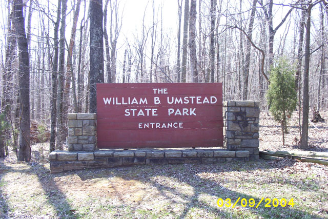
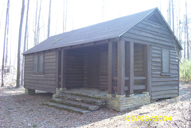
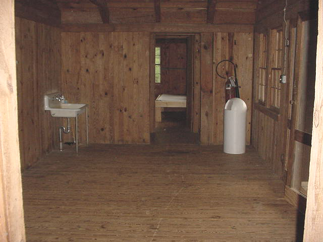
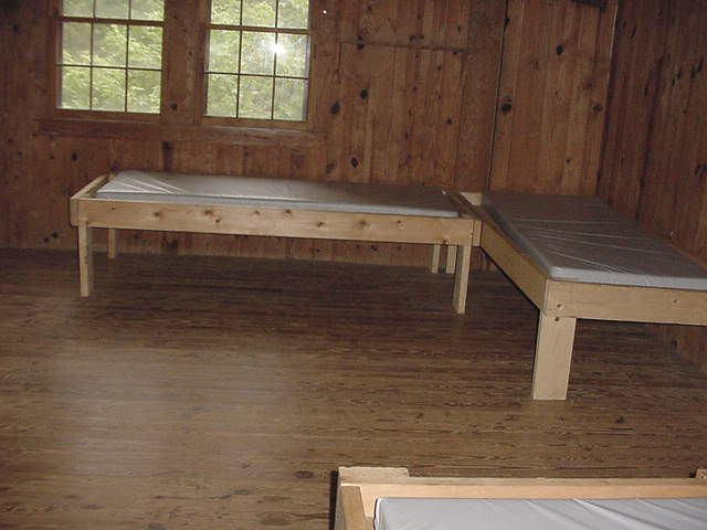
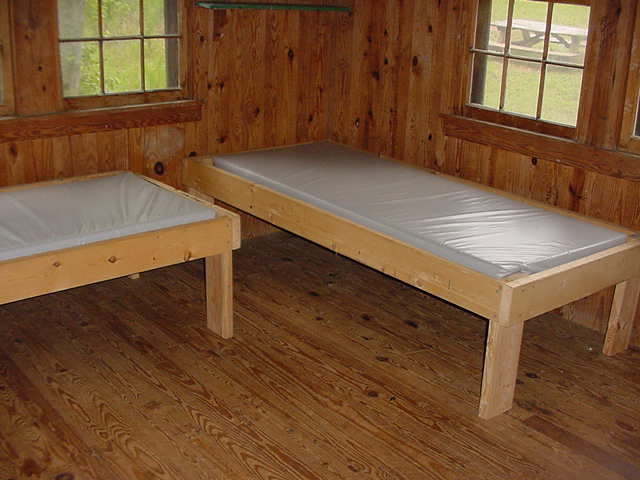
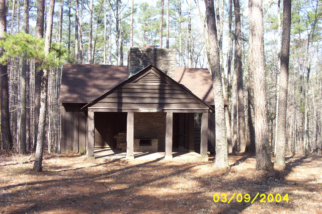
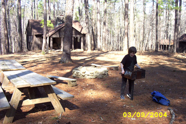
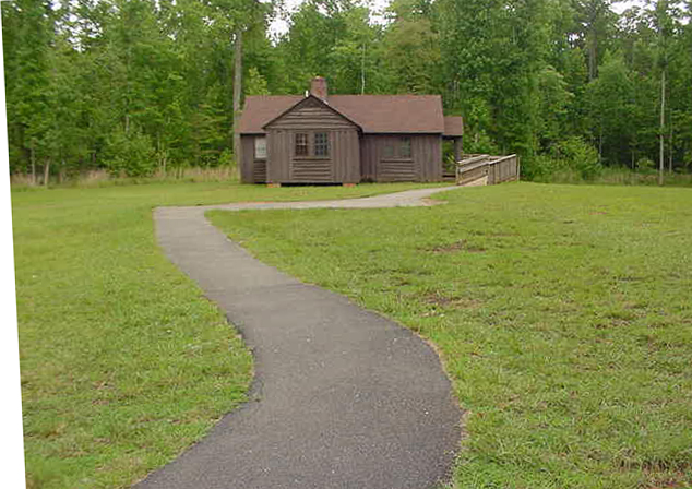
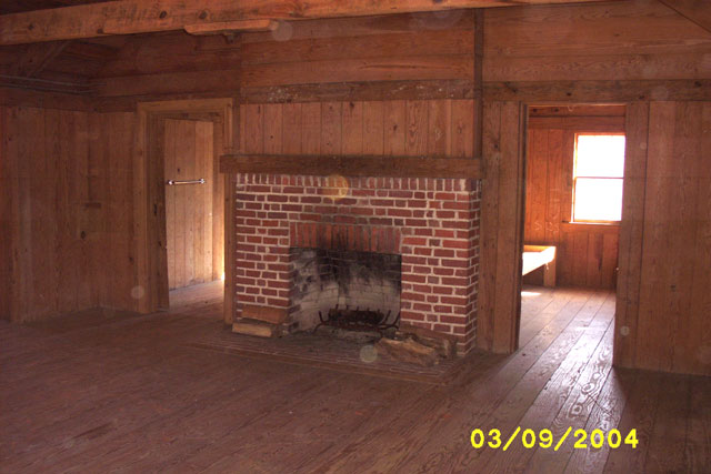
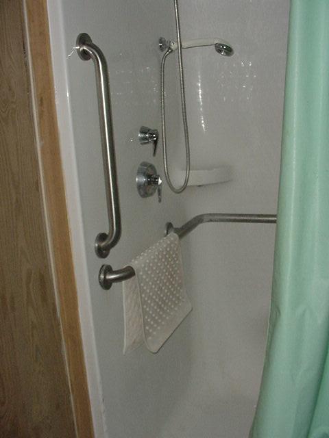
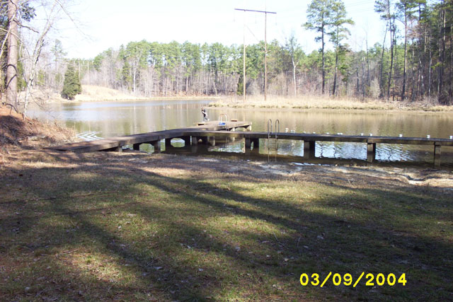
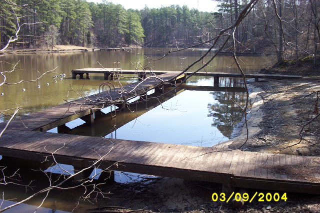
Camp Lapihio Pictures
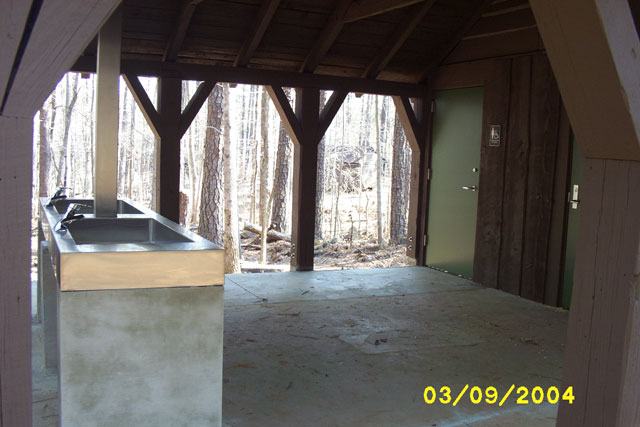
| General | |||||
 Glenwood Ave (US 70) |
 |
 |
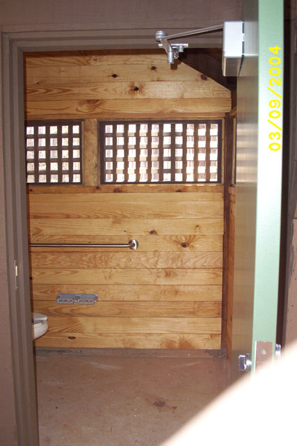
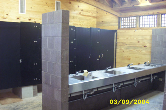 Sinks & Shower Stalls |
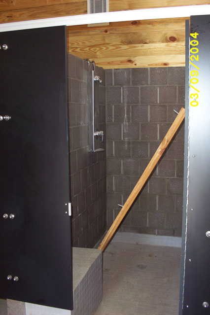 Shower Stall |
|
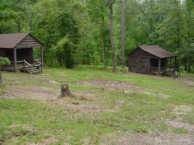
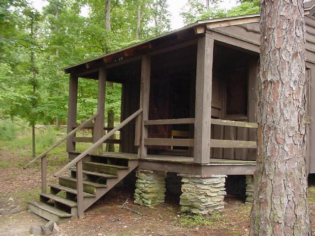
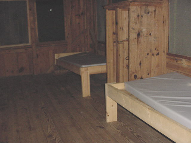
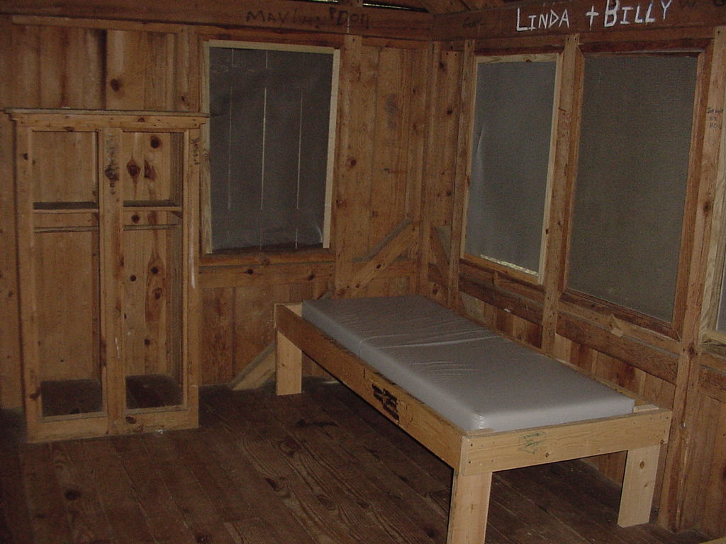
| Cabins | |||||
 |
 |
 |
 |
 |
 |
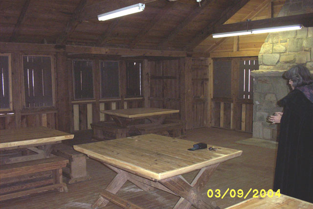
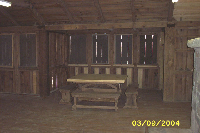
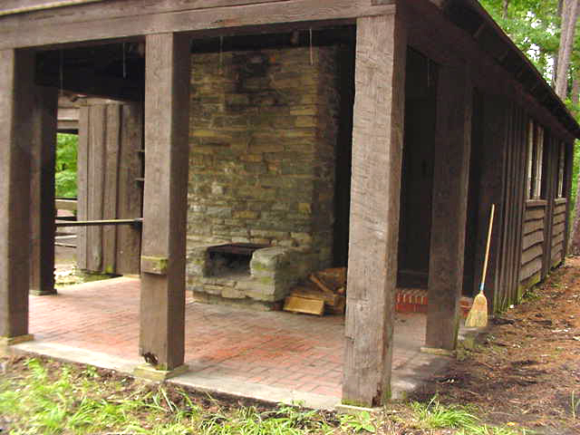
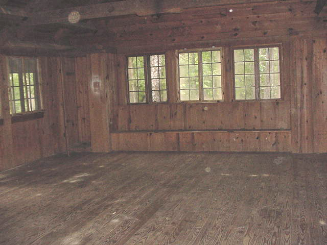
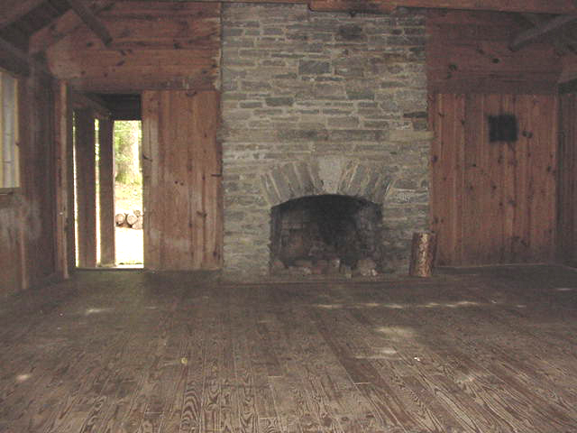
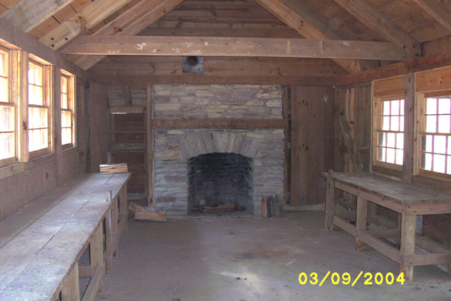
| Mess Hall | |||||
 |
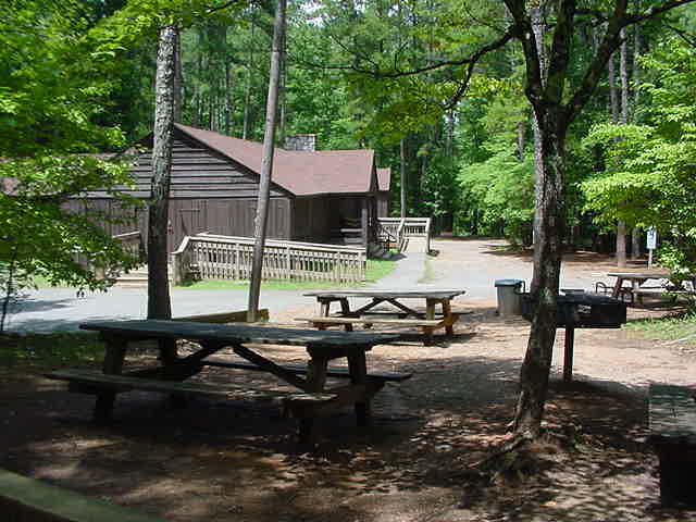 with Picnic Tables |
 |
|||
 |
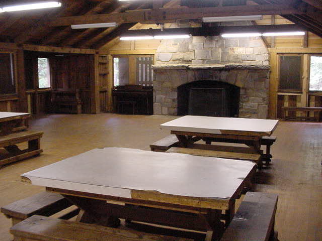 Fireplace End |
 Fireplace & Alcove |
 Alcove |
||
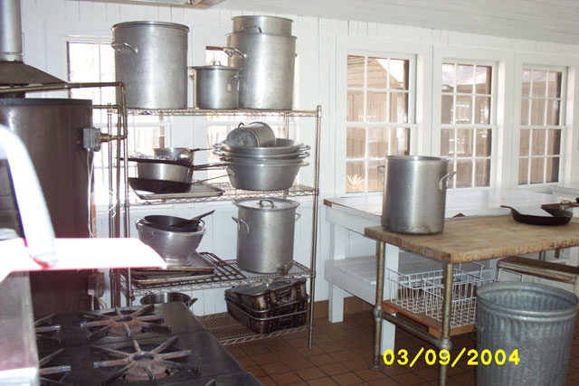
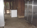
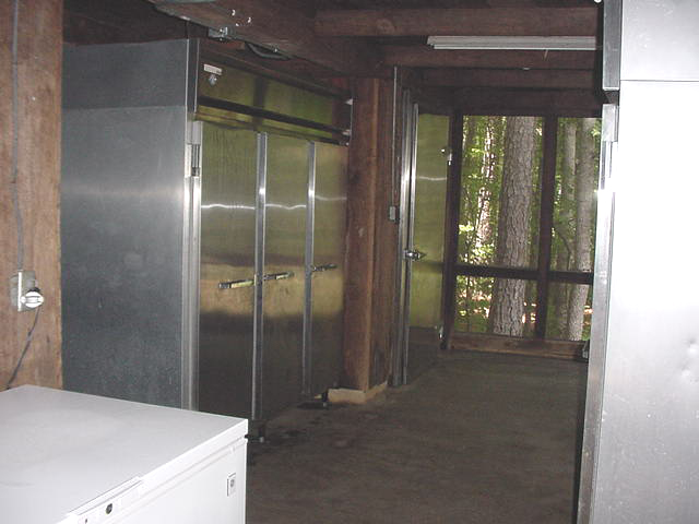
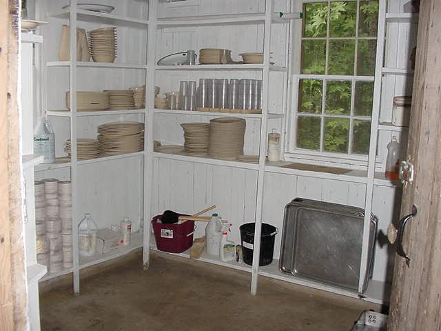
| Kitchen | |||||
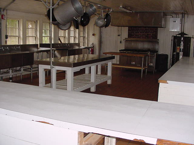 |
 |
 |
 |
 |
 |
| Infirmary (Children's Program) | |||||
 |
 |
 |
 |
||
| Lodges (Classrooms, Drumming, etc.) | |||||
 |
 |
 |
 |
 Lakes Unit |
|
| Staff Lodge | |||||
 |
 |
 |
|||
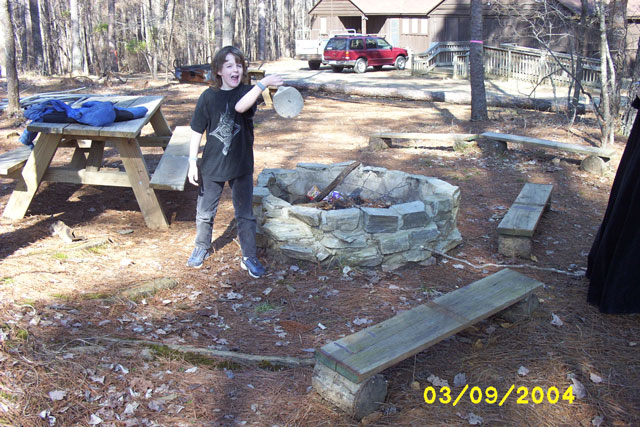
| Miscellaneous | |||||
 |
 Workbenches & Fireplace |
 |
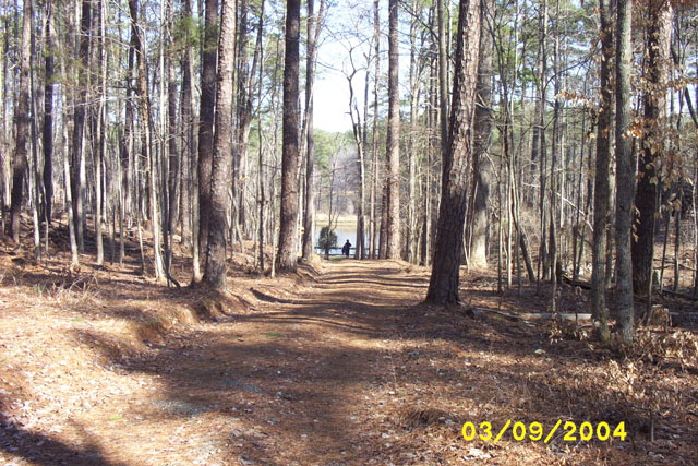 Hall to Sycamore Lake |
 |
 |

To contact the webmaster please email Webmaster.
Last updated 02/15/06